Walking: Tring to Amersham

I usually walk multiple SlowWays routes in a single walk, but last Saturday I only walked a slightly longer one, from Tring to Amersham. Some of that was because to get to the start of the official route, you first need to get there from Tring station, which means a slog along a busy road into down. But I did get a peek of the Grand Union Canal.
I have walked the length of the canal at the end of 2021, and I regret not having written this journey up, nor having taken loads of nice photos. I only took some mobile phone shots sadly.
The church in Tring is a lovely building, made better by a bright red postbox right in front of it. I have walked past here a few times before, but it was never quiet enough to get a reasonable shot of it.

From Tring's High Street I soon followed some narrow public footpaths to cross the A41 (M) on a loopy bridge, and ended up in Tring Park. It was a fair climb up a muddy hill, but it wasn't too bad. The views were pretty good when I looked at where I came from.

Once at the top, my route went through a wood, and spotted the "Riddle of the Ruin", where I got a little lost as the path was hard to see due to so many leaves on the ground. It wasn't a big deal though and soon I left Tring Park and I continued to follow a foot path at the edge of a field, avoiding the road on the other side. After a little while this was no longer possible and had to walk a little on the road. It wasn't busy though.

At the end of the field, the route then proceeded through woods, where the paths were fairly muddy still. After crossing a field with a hedge on the left I walked towards Shire Lane, which I followed for a while before ending up in some private woods where you definitely couldn't cycle, but horse riding was fine.
I got a wee bit lost as the paths weren't mapped very well. At the other side and across from the cricket pitch I came upon a lovely windmill.

I walked down the steep Ray's Hill, where the SlowWays route indicated a direction that wasn't possible. I had to continue down the hill along the road for a few hundred metres more, before then following a public foot path again.

This stretch of the walk was in the bottom of a valley with a reasonable good foot path, no fence to the left, and woods to my right. The path was a little muddy all the way and along Ramscote Lane.
There my walk led me towards Chesham in between hedges and fences. The section through Chesham wasn't very nice, with loads of cars on the road, and parked on the pavement, although the high street itself was okay. After passing a play ground, tennis fields, and an allotment, the walk went underneath the Metropolitan line tracks up the hill and through Chesham Bois Wood.
Here a lady asked me whether I had seen her white dog — I had not. After coming out of the woods, and crossing Chesham Bois Common, there was a short section to the train station, where I (of course) ended up missing my train by 2 minutes.
The Metropolitan line was only going as far as Harrow-on-the-Hill, so I waited for the Chiltern train to Marylebone instead.

Life Line
Updated a pub
Merge branch 'v2022'
Merge branch 'php_gh_19803' into v2022
Fix PHP GH-19803: Parsing a string with a single white space does cre…
Merge branch 'xdebug_3_5'
Back to -dev
Go with 3.5.1
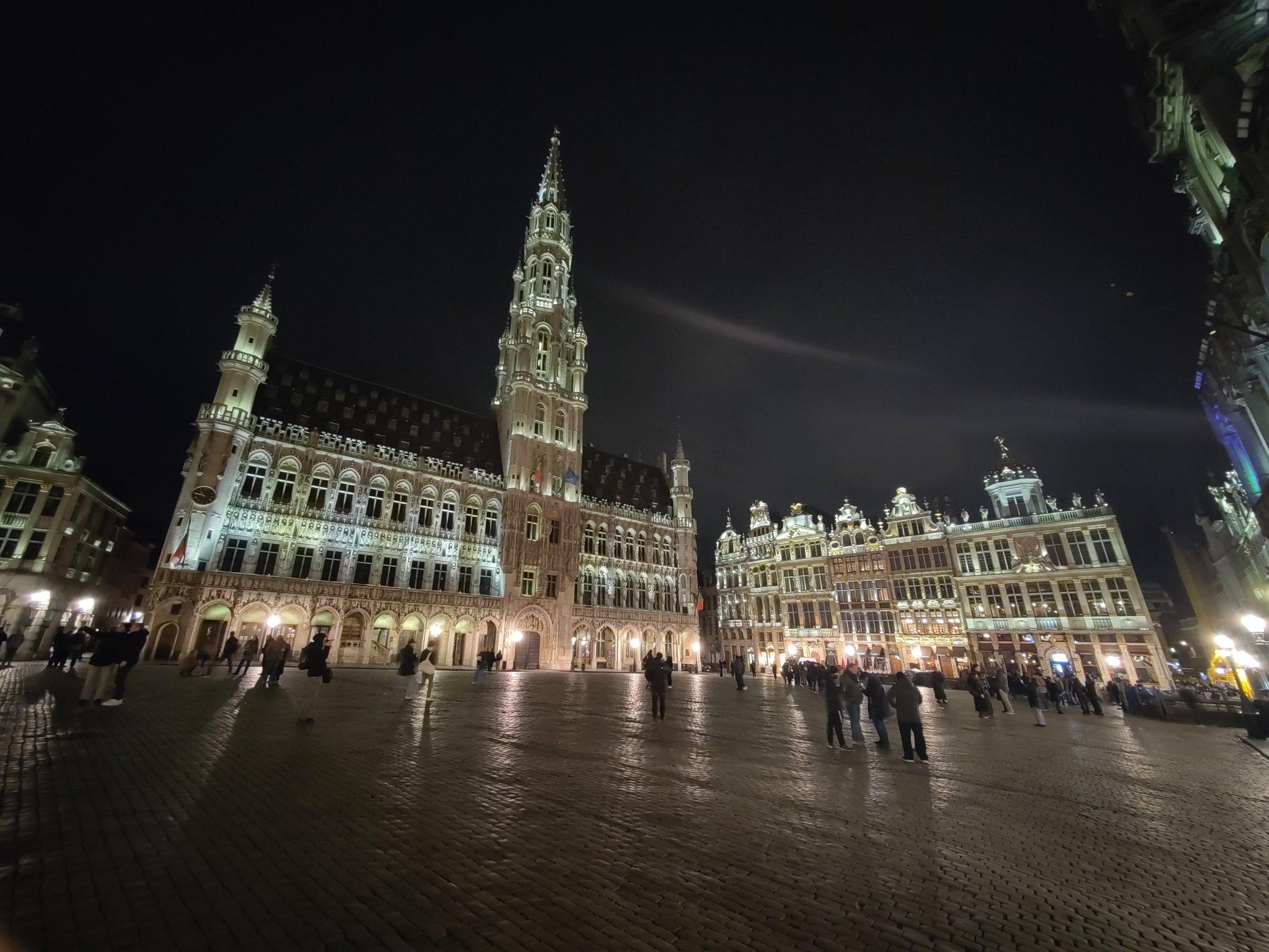
Thanks Brussels, you've been lovely to me this weekend.
And I've a lot to process from the conference too.
I walked 3.9km in 36m24s
I walked 1.1km in 11m31s
Updated a restaurant; Confirmed 3 fast_foods, a convenience shop, and 2 other objects
I walked 4.4km in 44m06s
I walked 5.1km in 56m16s
I walked 3.8km in 37m43s
I'm up early to get the Eurostar to #FOSDEM and I've already seen friends being made.
Fixed another address
Fixed address for flats
Fixed address, and ass missing service way
I walked 6.4km in 1h20m58s
I walked 11.4km in 9m22s
I walked 10.4km in 1h41m18s
I walked 7.4km in 1h26m49s
Good job antivaxer shit heads:
BBC News: UK loses measles elimination status
I walked 8.2km in 1h24m04s
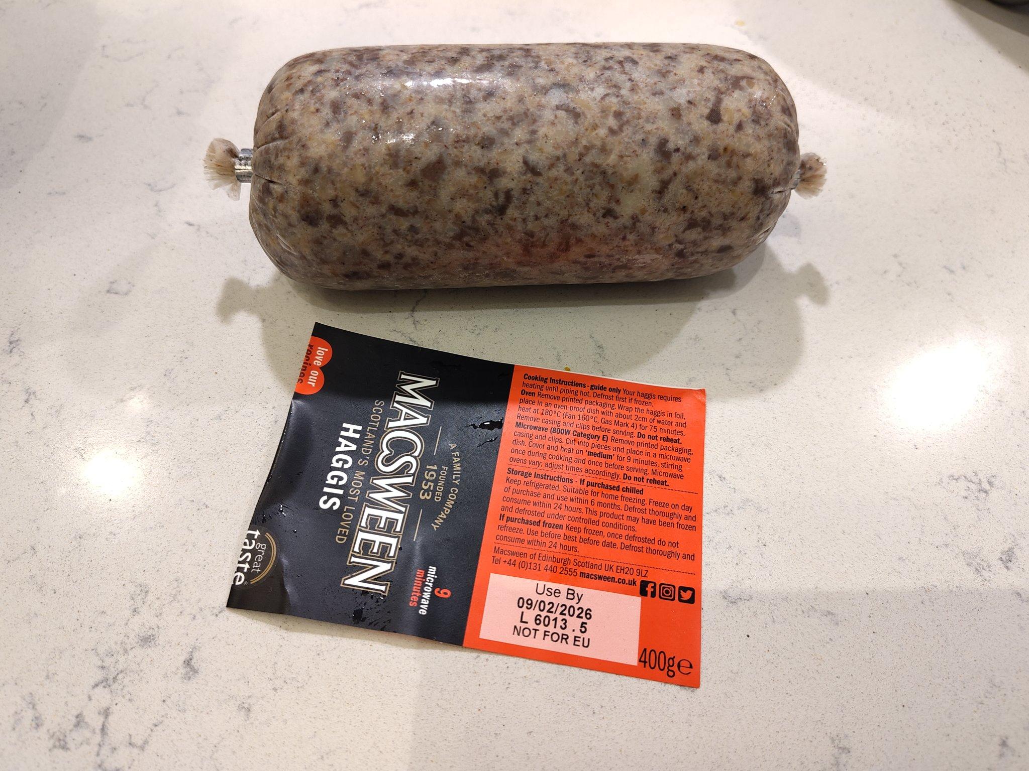
We're about to celebrate the most famous Scottish poet!


Shortlink
This article has a short URL available: https://drck.me/tri-ame-hsc