
Contributing Advent 19: Lunch time mapping
I like going out for walks at lunch time. At least during winter times, it's the only amount of fresh air during daylight I am actually getting. During my walks, I also like to do something useful. Then, my laptop's background image shows me an OpenStreetMap map of the area the laptop is currently at. (This now works a lot better again after Mozilla started doing their location project). When I am at home, this background however has this (empty) spot on it:
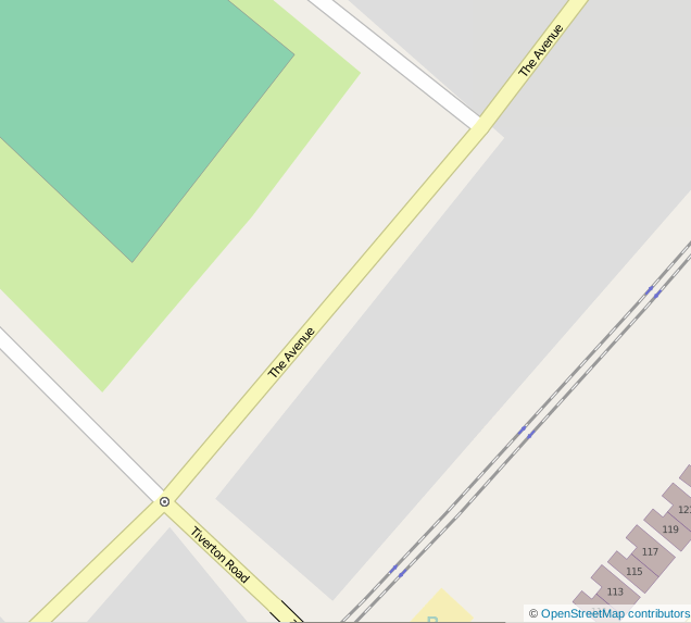
And empty spots are annoying! So, during a lunch break in the last few days, I went out and walked over The Avenue to do some mapping. I find it way easier to do this with pen and paper, as compared to an application like Vespucci. Pen and paper is both faster, and I don't have to fiddle with a tiny phone keyboard. I do however use Vespucci for things like changing a shop's name or type.
Notes on pen and paper I make plenty, and they look like this:
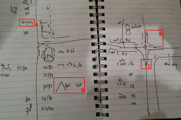
Over the past few years I have developed a short hand for all kinds of things. You can see house numbers (a), how many floors, the colour of the building, the shape and colour of the roof (b), crossings (c) and fences (d) on the extract above.
With the notes on paper, I then use JOSM to add the information to the map. JOSM's interface looks like:
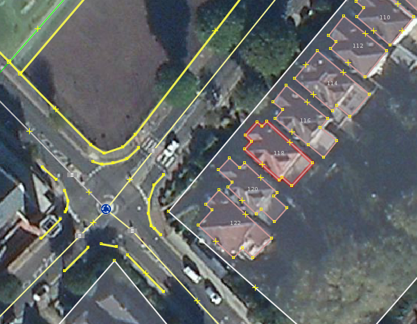
JOSM is a little bit like the VIM, but then for editting OpenStreetMap. It is not the easiest editor, but so much more powerfull than the online editor iD. With some practice, and learning key combinations, it allows you to pretty quickly add the information from your notes to the map. The following video (at 8 times speed) shows how I added the information from the notes from above to the map:
In the end, when everything has been added and uploaded, and the OpenStreetMap website rendered my updates, the map now looks like:
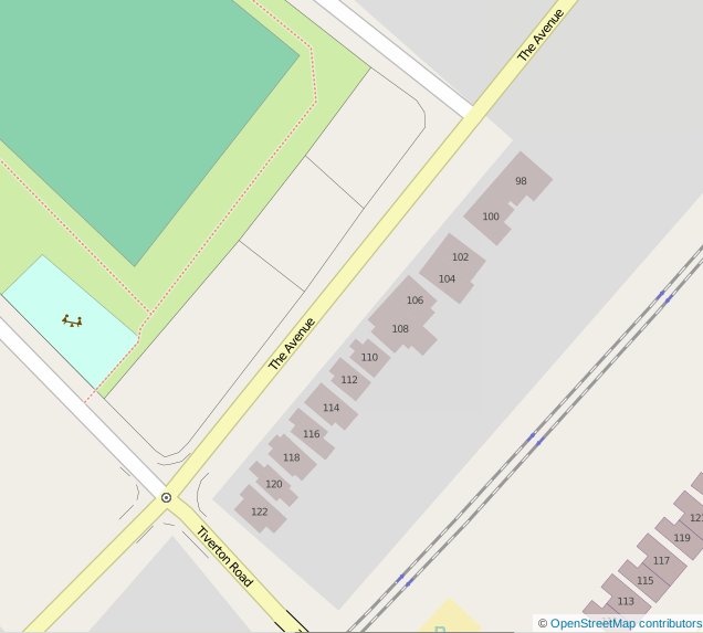
Now it is just a matter of adding the information from the other eight pages of notes I made on this trip!


Life Line
Updated a cafe
Specify street/place names to addresses
Specify bicycle parking capacities
Specify bicycle parking fees
Specify bicycle parking access
Specify whether crosswalks have tactile paving
Specify width of opening
Specify whether pitches are lit
Specify pitch surfaces
Specify whether pedestrian crossings have markings
Specify step counts
Survey tactile paving on steps
Specify whether steps have a ramp
Specify which way leads up for steps
Specify whether pedestrian crossings have islands
Specify whether pedestrian crossings have traffic signals
Determine roads lane count
Specify whether roads have lane markings
Survey if places still exist
Specify whether roads have sidewalks
Survey postbox collection times
Survey opening hours
Determine whether ATM allows depositing cash
Specify bicycle parkings covers
Shortlink
This article has a short URL available: https://drck.me/adv1319-afe